Indus Logo
Nautical map (The Netherlands) | Indus Appstore | App Icon

Nautical map (The Netherlands)

nautical-chart-nl

Verified

4

Rating

21 MB

Download size

27 MB

Install size
Nautical map (The Netherlands) | Indus Appstore | Screenshot

About App

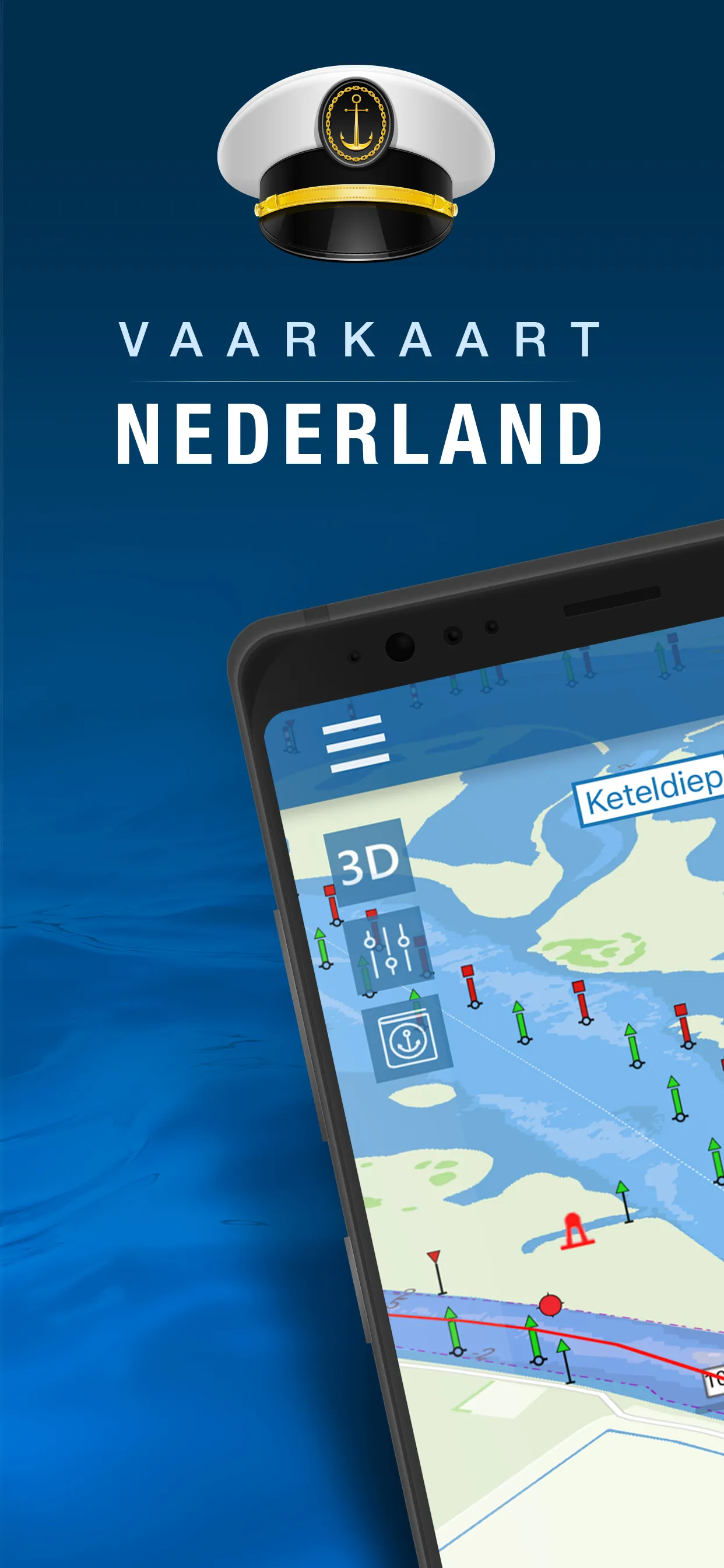
Nautical map (The Netherlands) is an online waterway chart and almanac which immediately displays all information relevant when traveling over water in The Netherlands. It is also an great tool to plan your cruise. Nautical map NL includes: - More than 8,000 buoys, barrels and other floating waterway markings. - More than 4,500 docks and warfs. - More than 2,500 bridges, including height, width and operating times. - More than 300 locks including operating times. - Display of current speed and

Developer info


Similar apps


Popular apps