QH sử dụng đất Cần Thơ
sdđ-cần-thơ
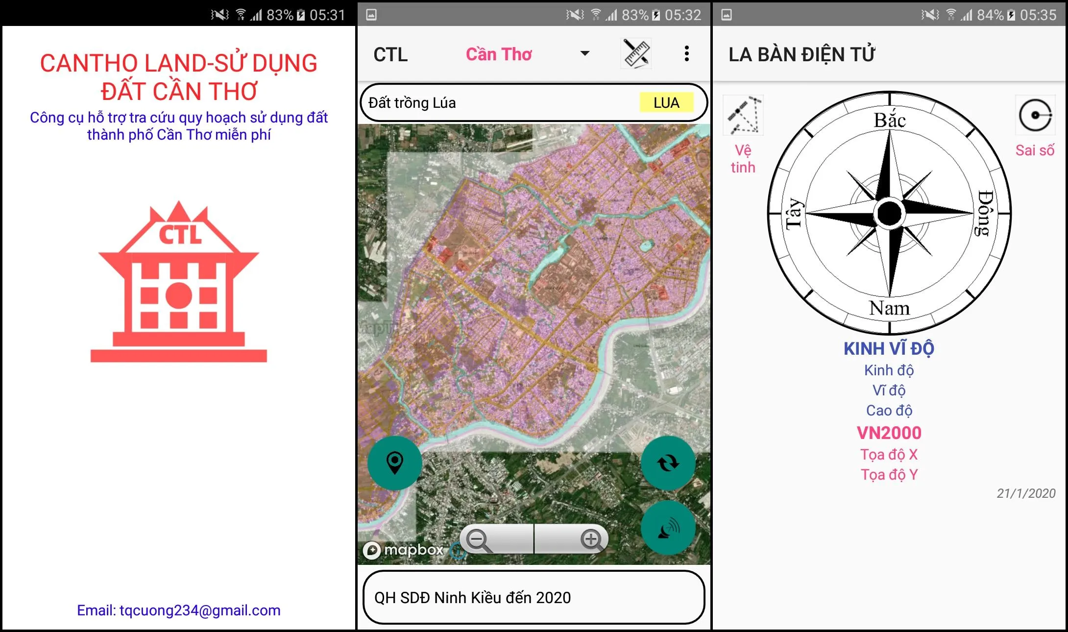
About App
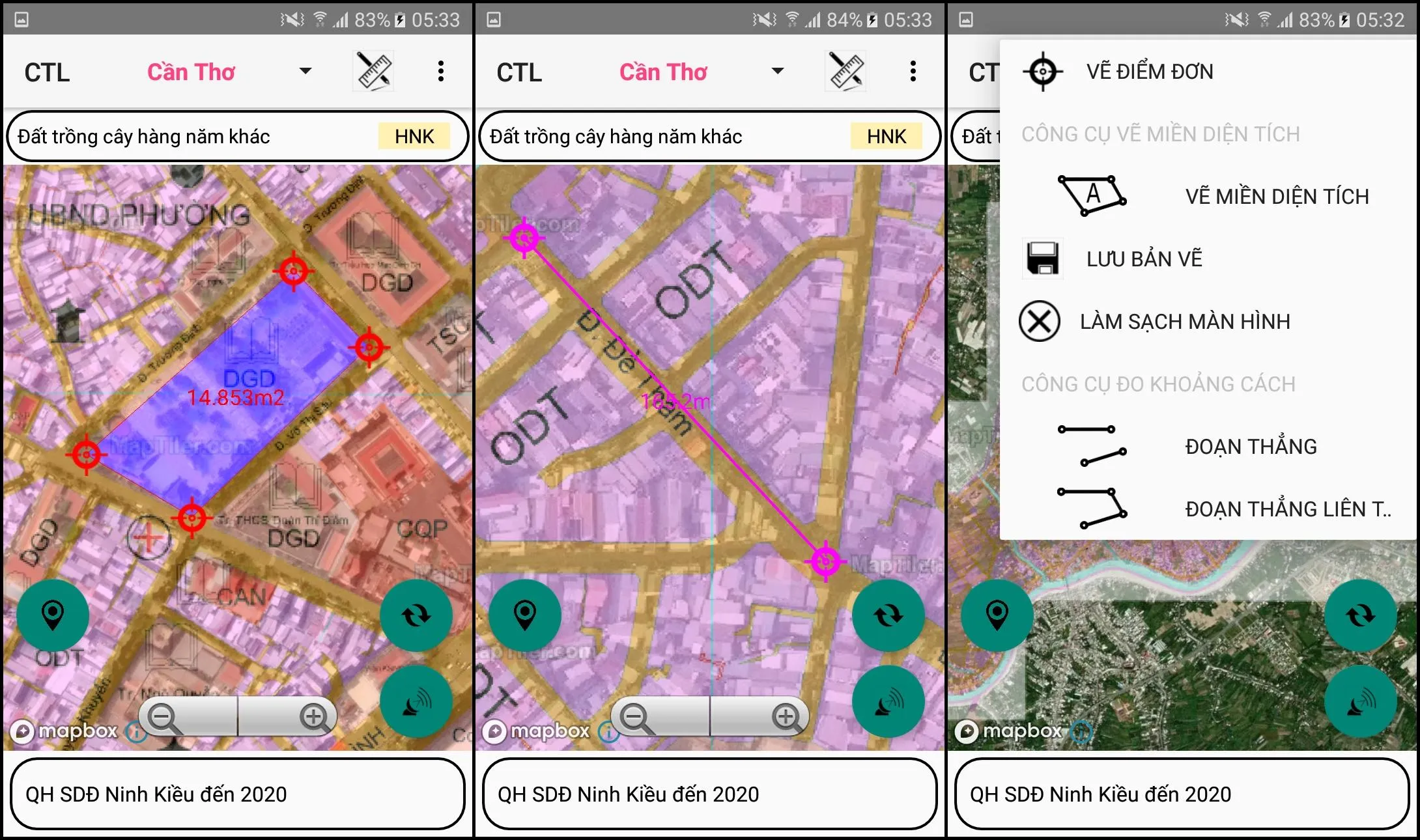
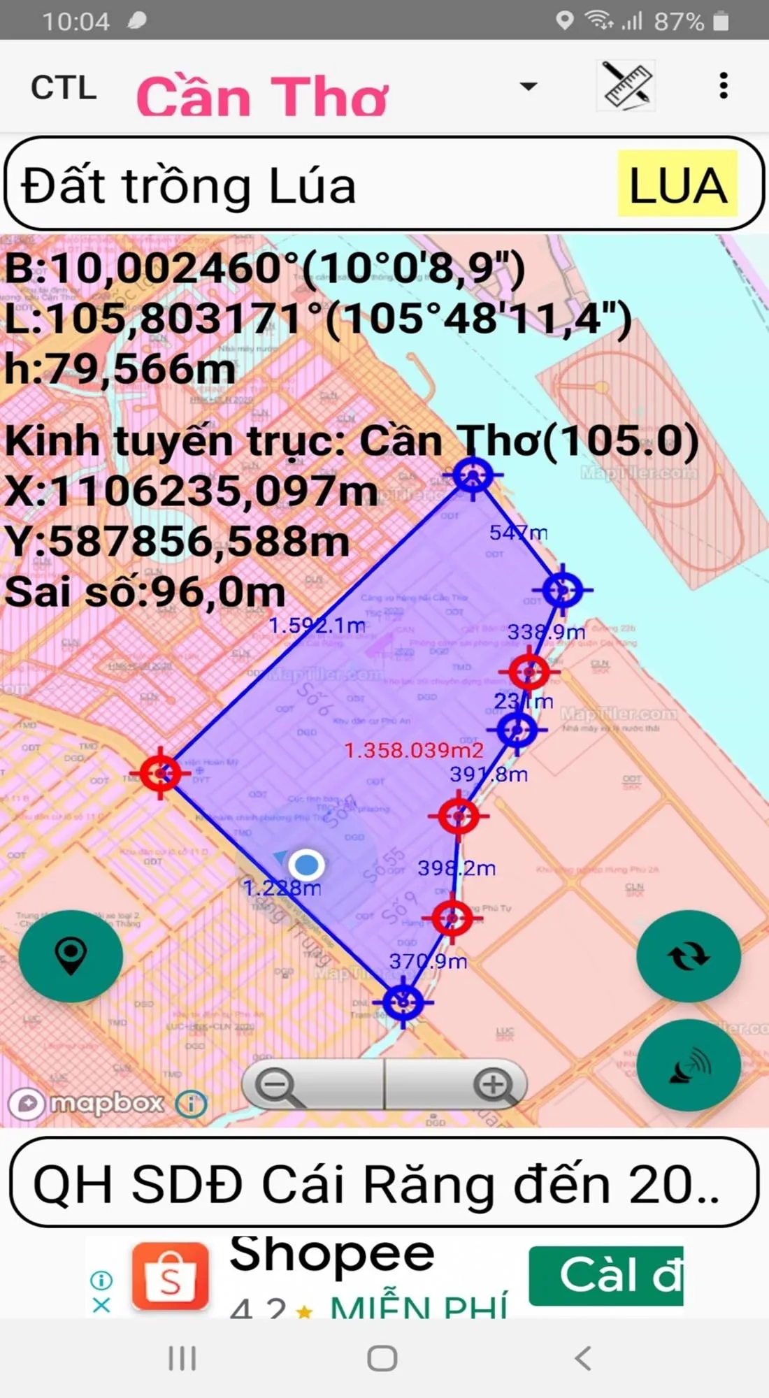
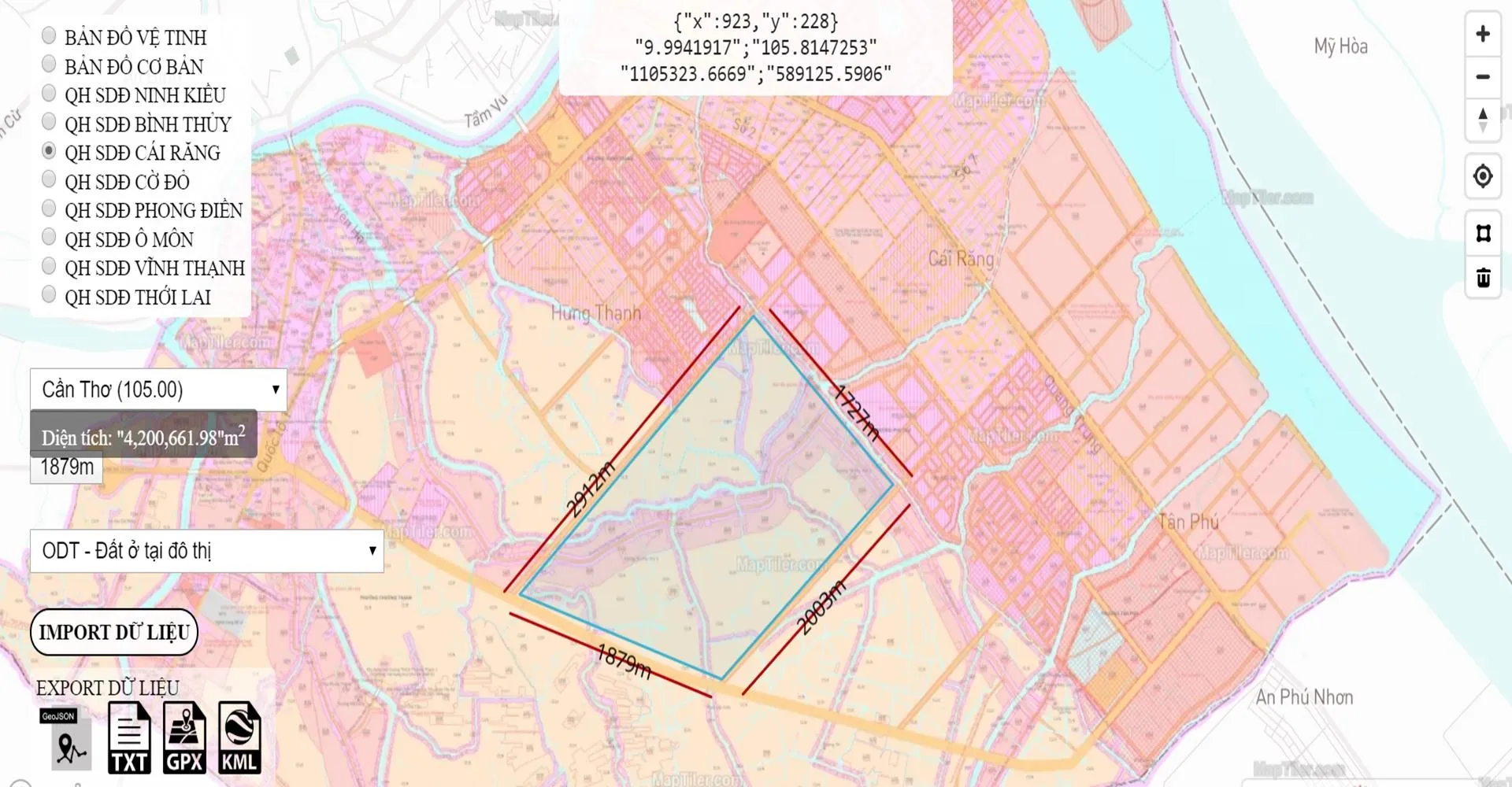
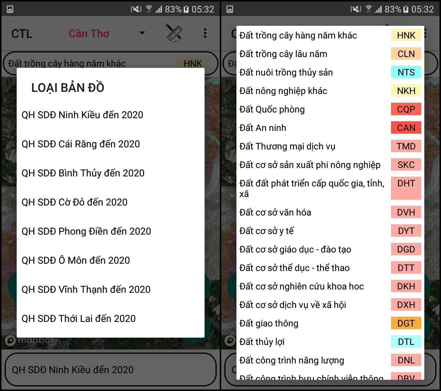
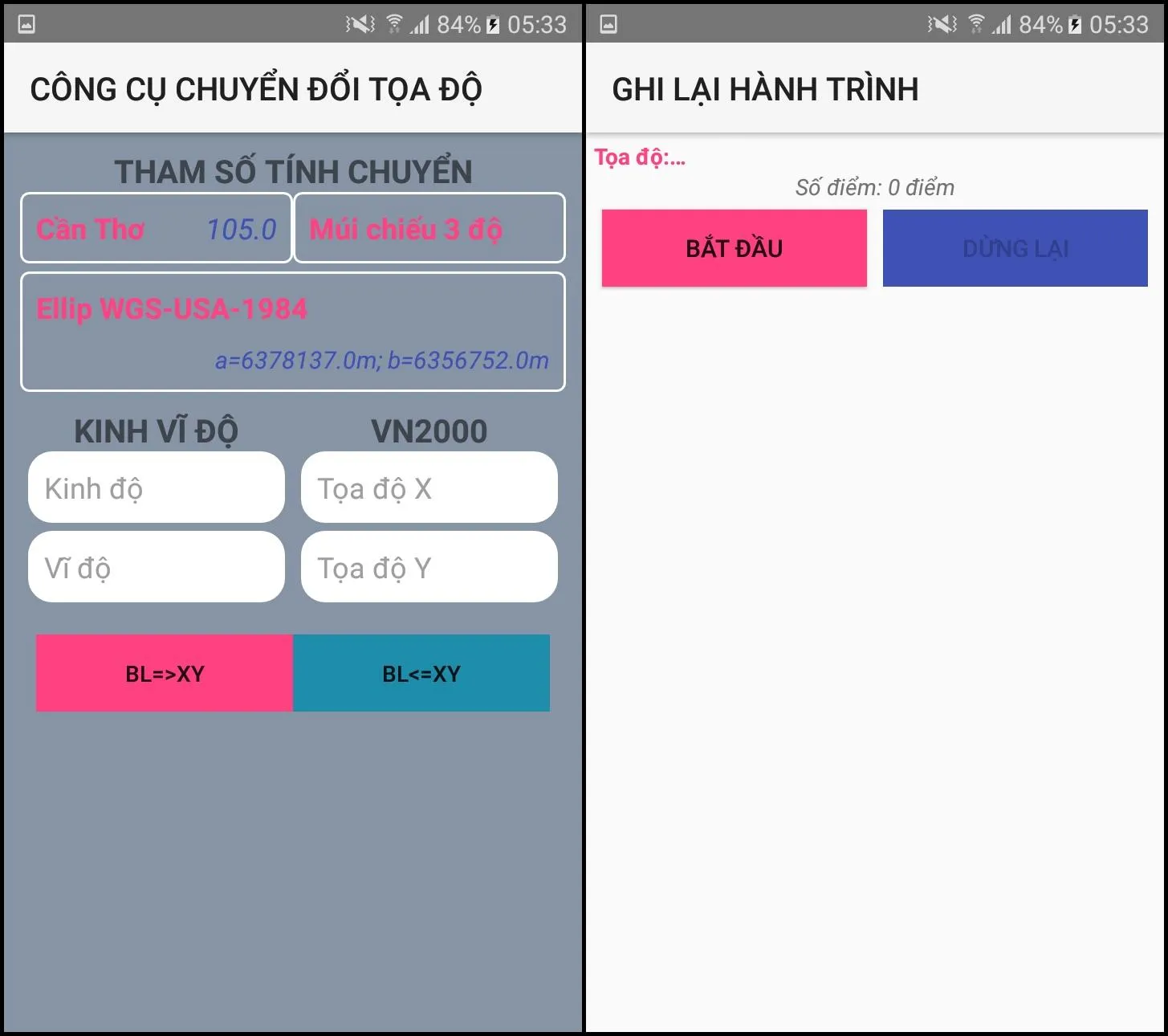
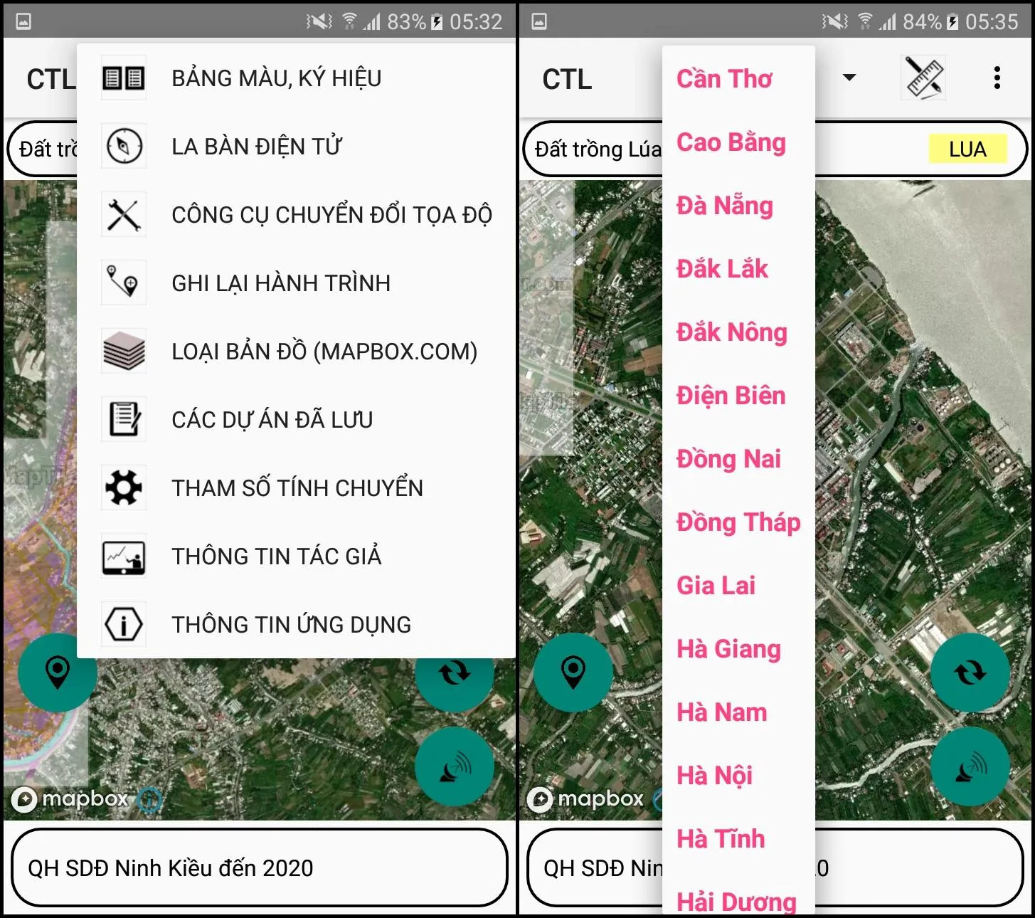
- Support to look up district use planning to 2020 - Ninh Kieu, Cai Rang, Binh Thuy, Co Do, Phong Dien, O Mon, Vinh Thanh, Thoi Lai and Thot Not - Using Mapbox.com's base map technology on published land use plans - Determining the user's current location on land use planning map - Use 02 coordinate systems Longitude, Latitude and coordinate system VN2000 - Support map zoom function, rotate the map to the North-South axis - Find and bookmark current locations by name - Electronic compass (suppor
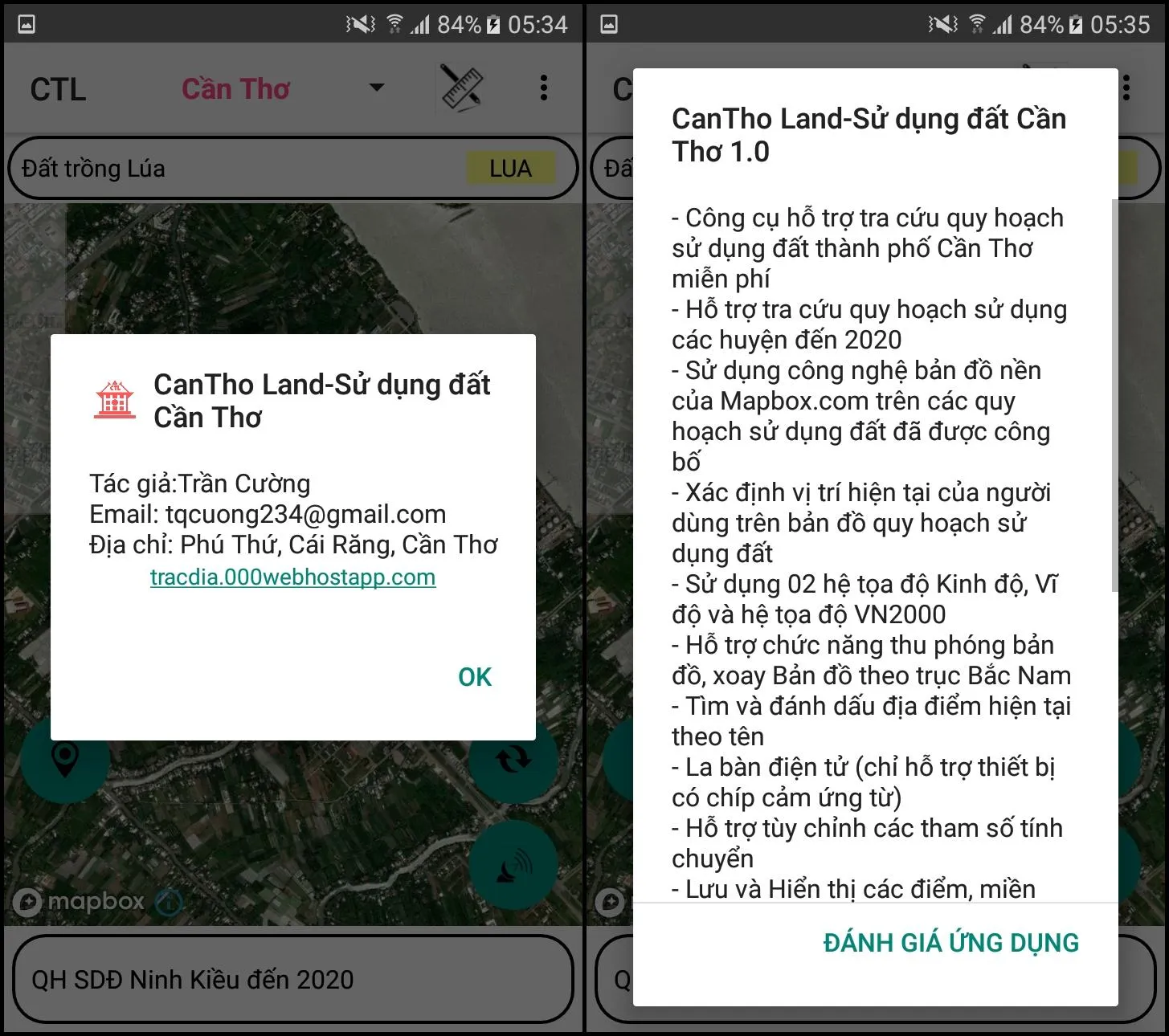
Developer info