AGTEK SmartDirt
smartdirt


About App
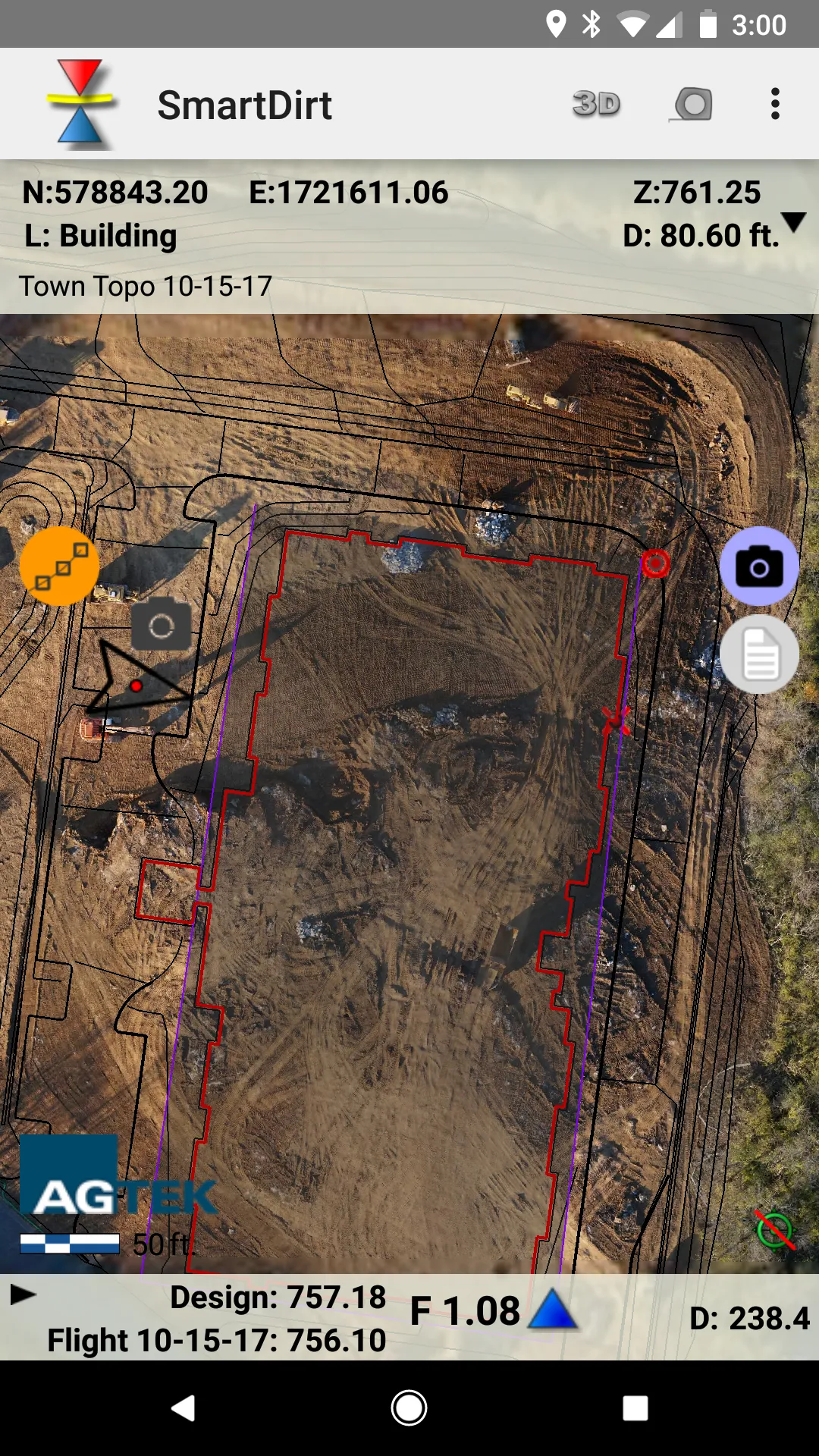
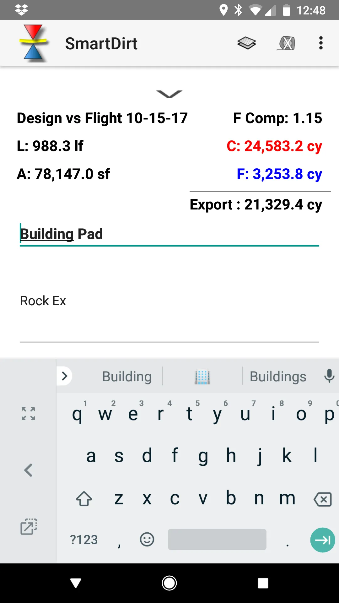
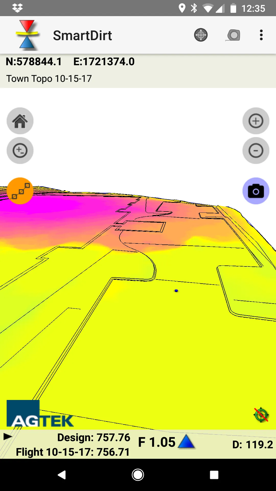
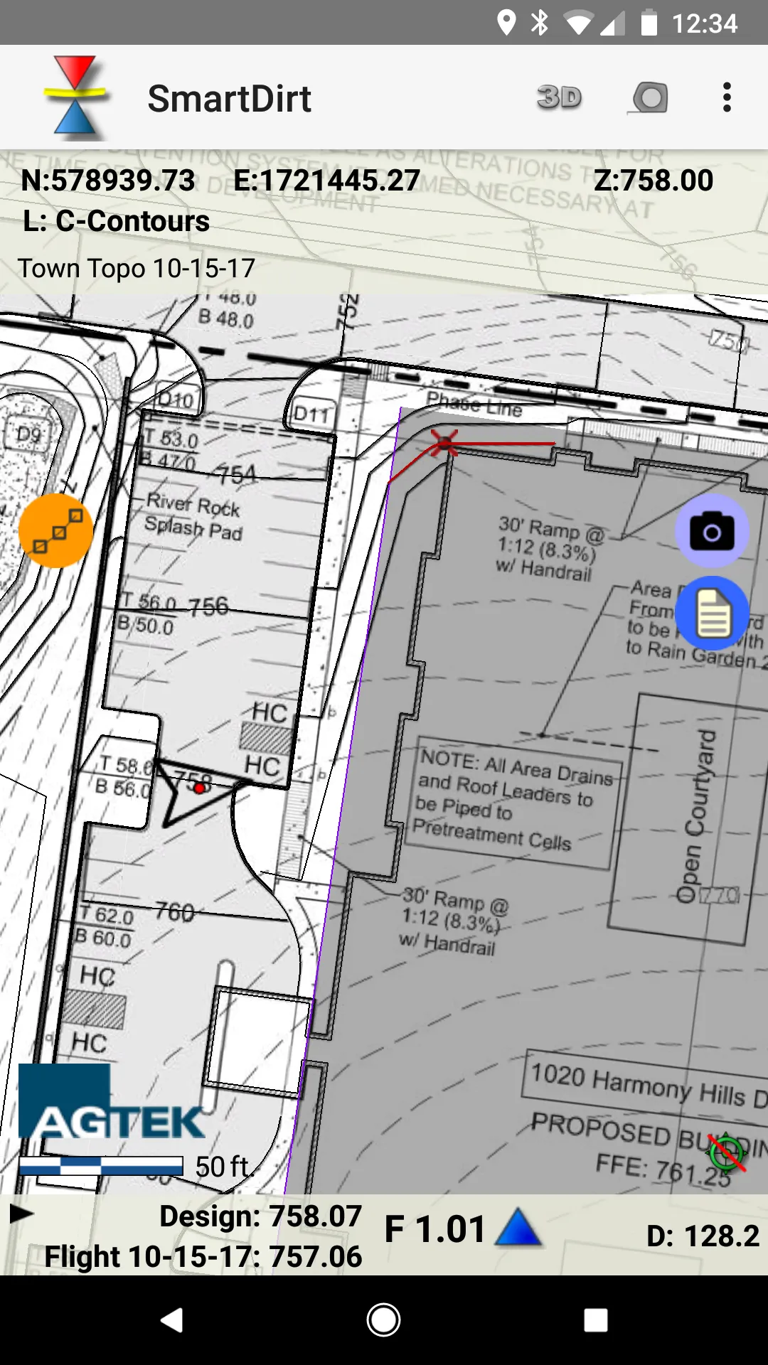
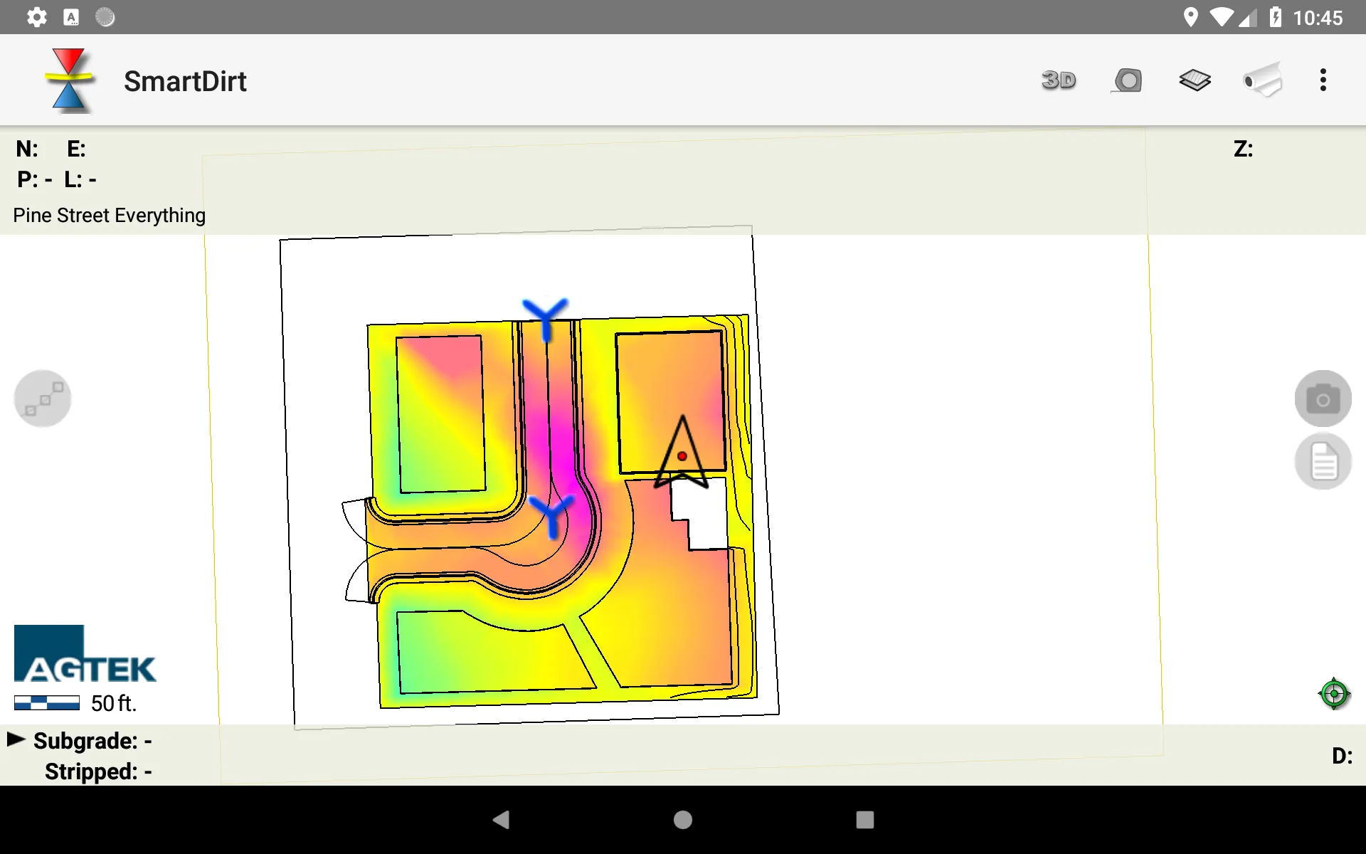
SmartDirt uses your AGTEK takeoff to display the geo-referenced 3D model, data lines, and plansheets on your iPhone or iPad. Show Cut-Fill as you walk on the interactive grid map or switch to the plans as needed. Select points to see elevations, coordinates, station & offset, point labels and approximate distance from your location. Measure slope or distance with a tap or estimate earthwork quantities with the measure tool. Take pictures, create notes, or create tracks that can be read
Developer info