Indus Logo
Live Earth Map: GPS Satellite | Indus Appstore | App Icon

Live Earth Map: GPS Satellite

live-earth-map

Verified

4

Rating

16 MB

Download size

35 MB

Install size
Live Earth Map: GPS Satellite | Indus Appstore | Screenshot

About App

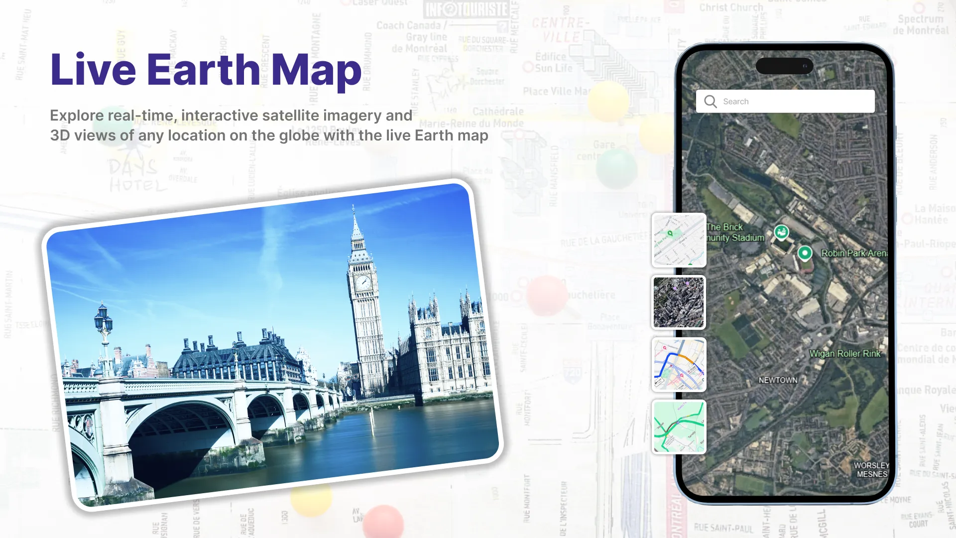
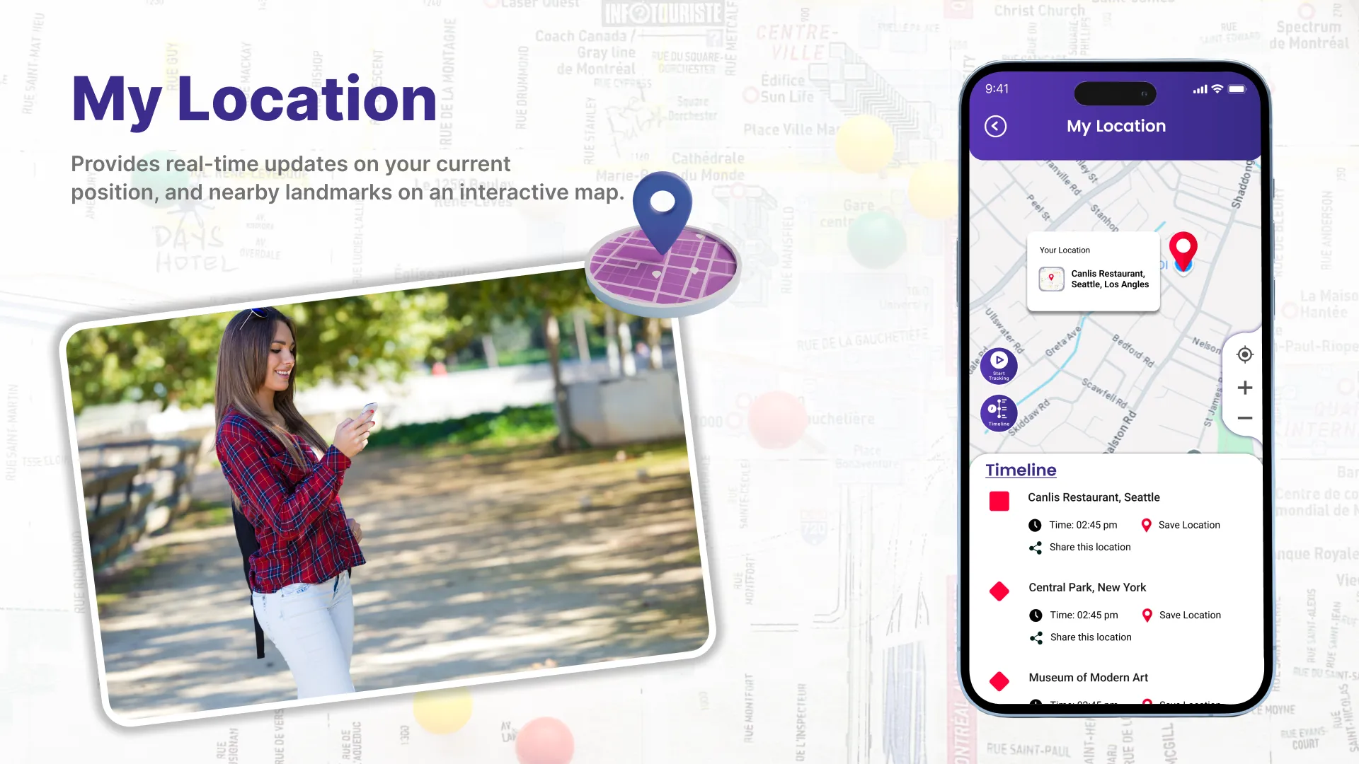
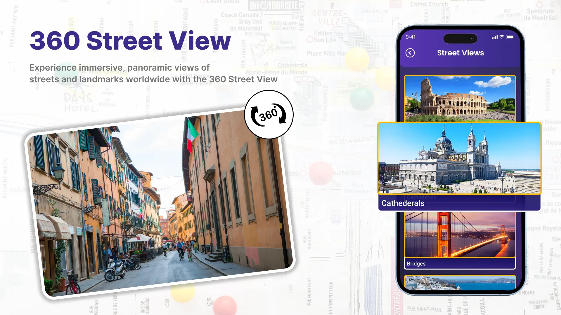
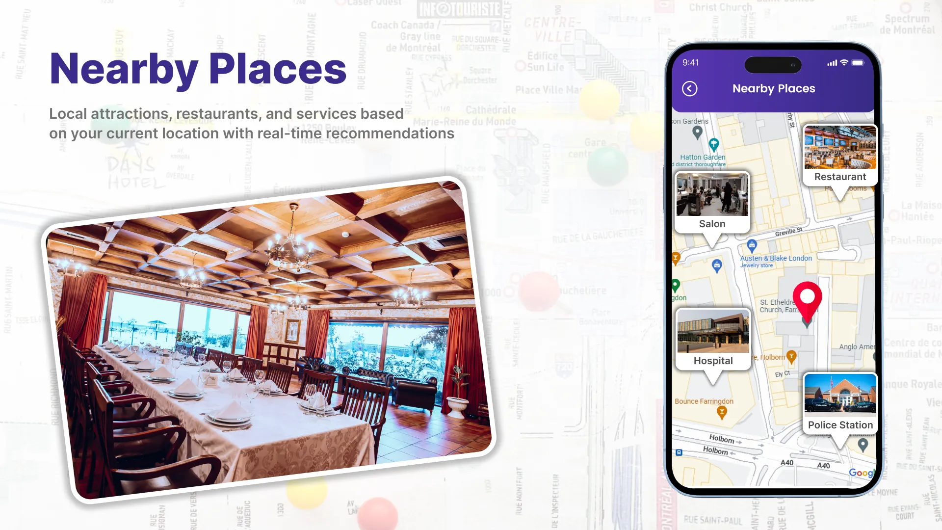
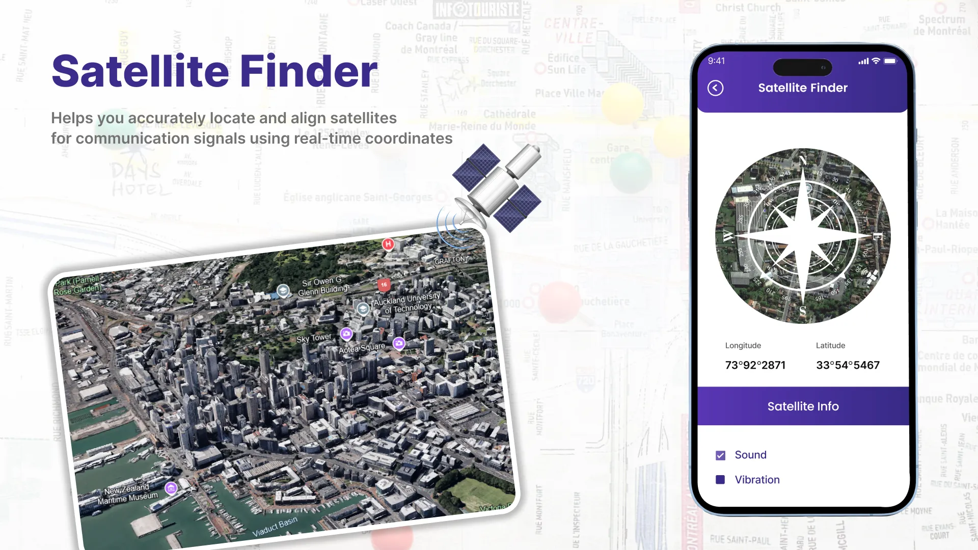
Live Earth map: GPS Satellite is a versatile and user-friendly application that combines cutting-edge technology with satellite navigation systems. It serves as a comprehensive solution for various needs, ranging from basic location tracking to advanced features like Satellite Finder and Real-Time Timelines. Let's explore the key components that make Earth Map Satellite a go-to choice for GPS navigation enthusiasts.
Location Timeline:
One of the fundamental aspects of the Live Earth map: GPS Satellite is its ability to display accurate location-based timeline. Users can easily check the timeline at any location on the globe, allowing for efficient scheduling and coordination across different time zones.

Developer info


Similar apps


Popular apps