GPS Live Earth Maps Satellite
live-gps-navigation-earth-map

About App
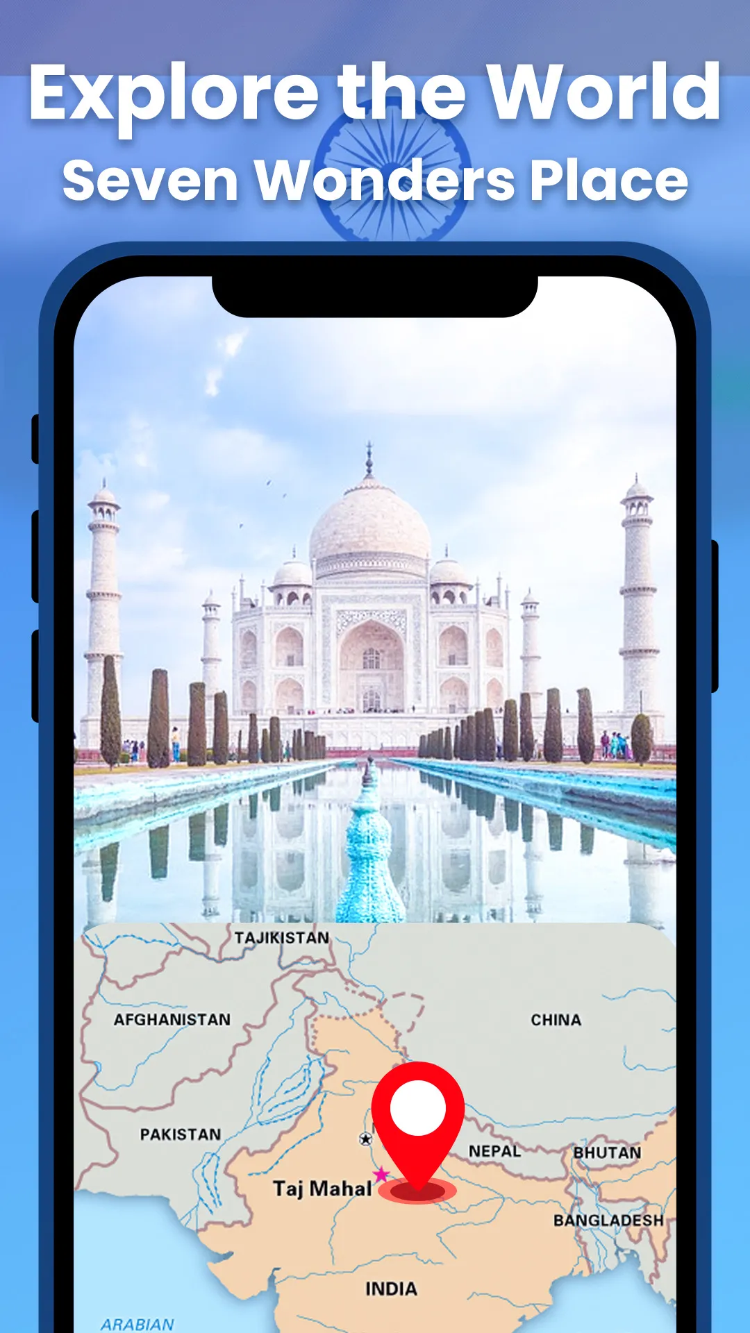
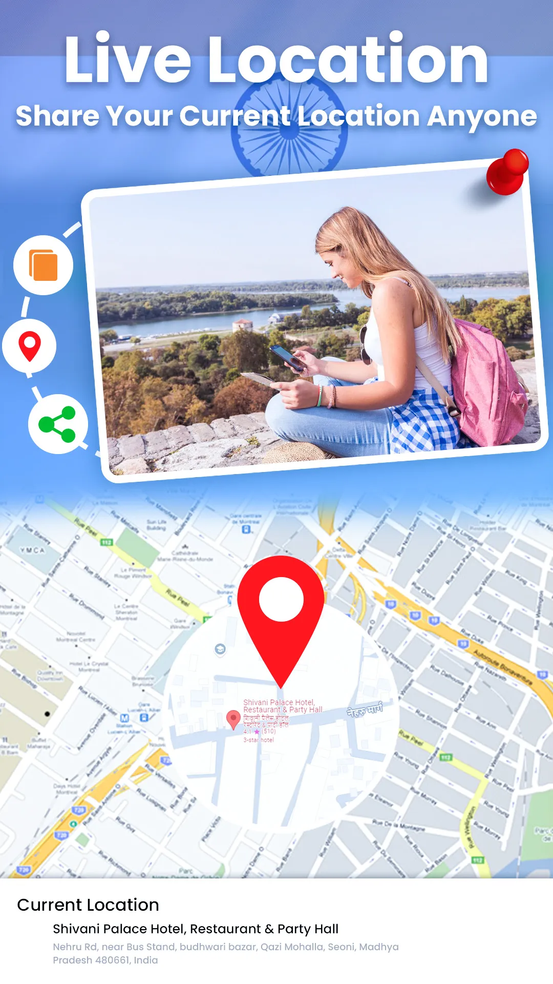
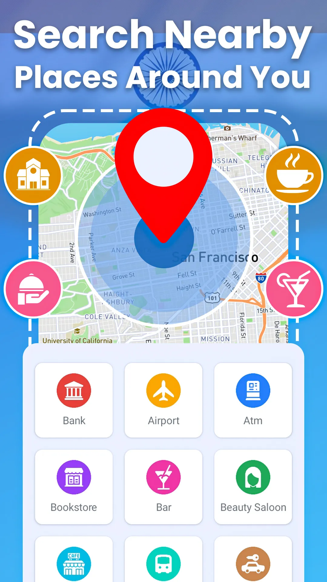
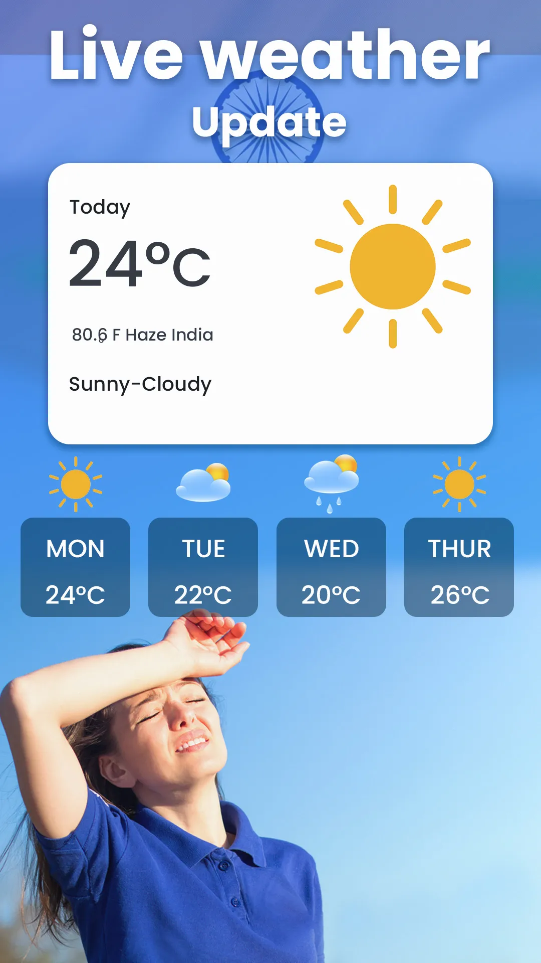
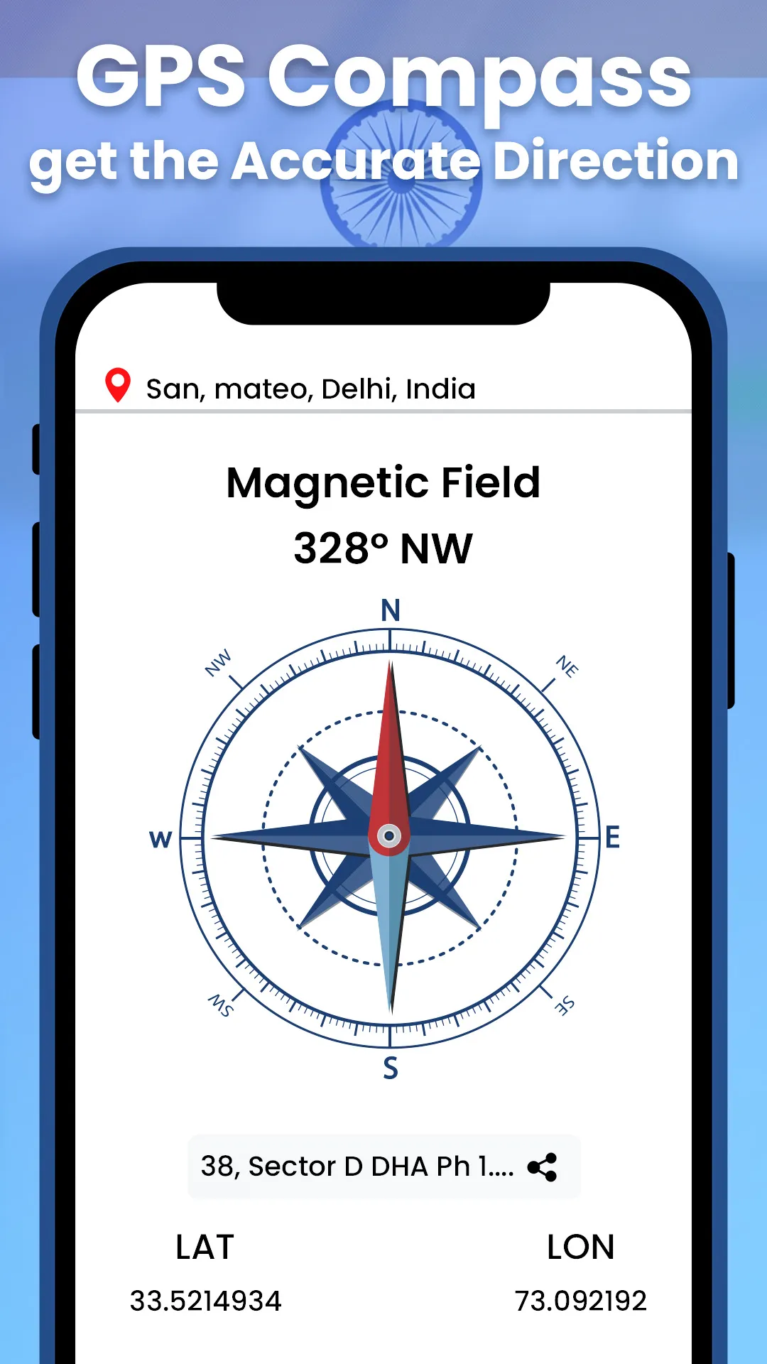
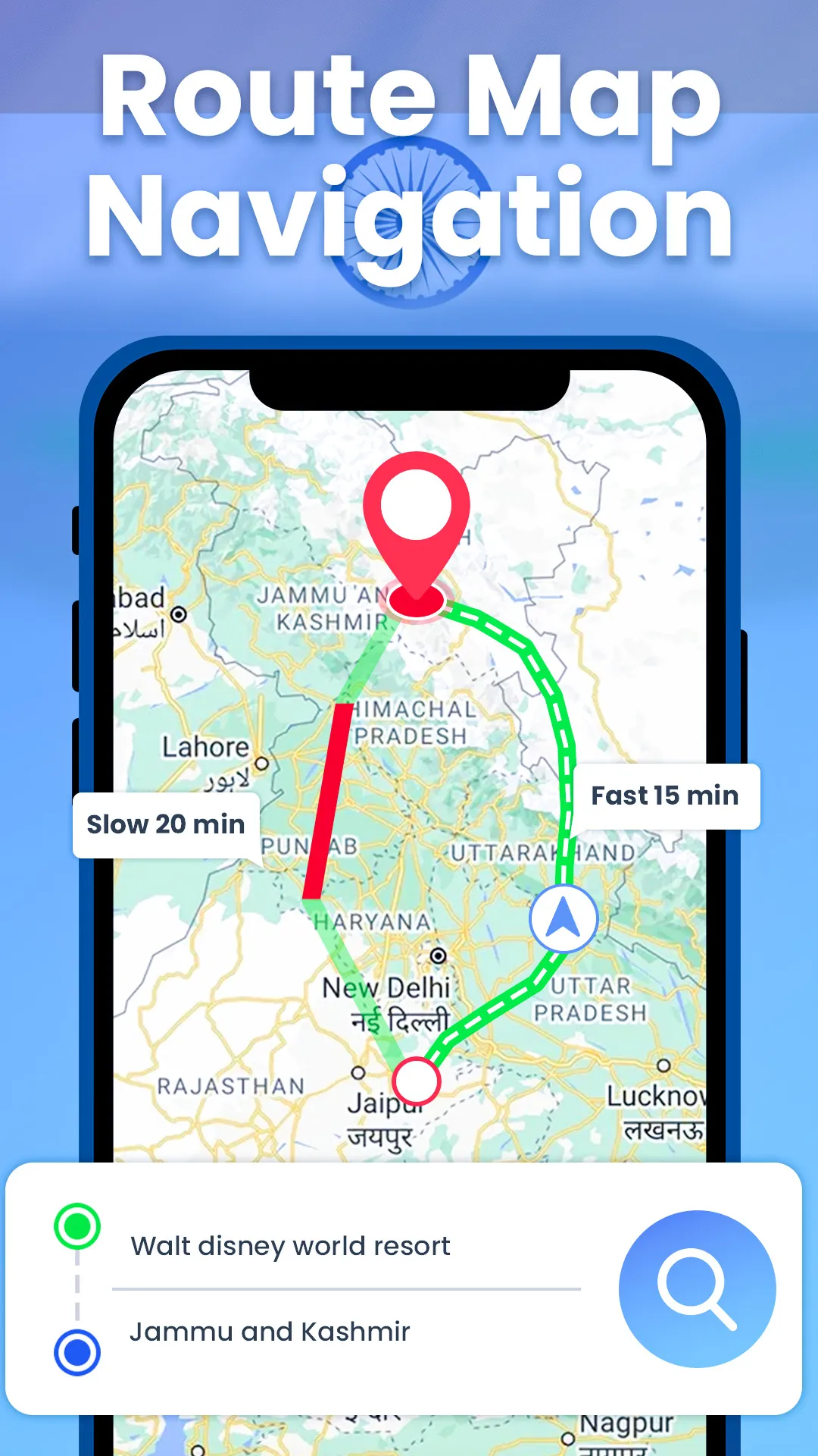
GPS Live Earth Maps Satellite can be used to get driving directions to explore the world map. The Real-Time Live Earth Map is used as a route finder to find driving maps and go there. With a Live Satellite Map, save your GPS route and travel to your desired destination by getting driving directions with a GPS navigation live map. Mark your exact location on a GPS map by using the Earth Map 3D, which connects with a live satellite view to provide your current location. Live map GPS navigation off
Developer info