ŽISIS
žisis
About App
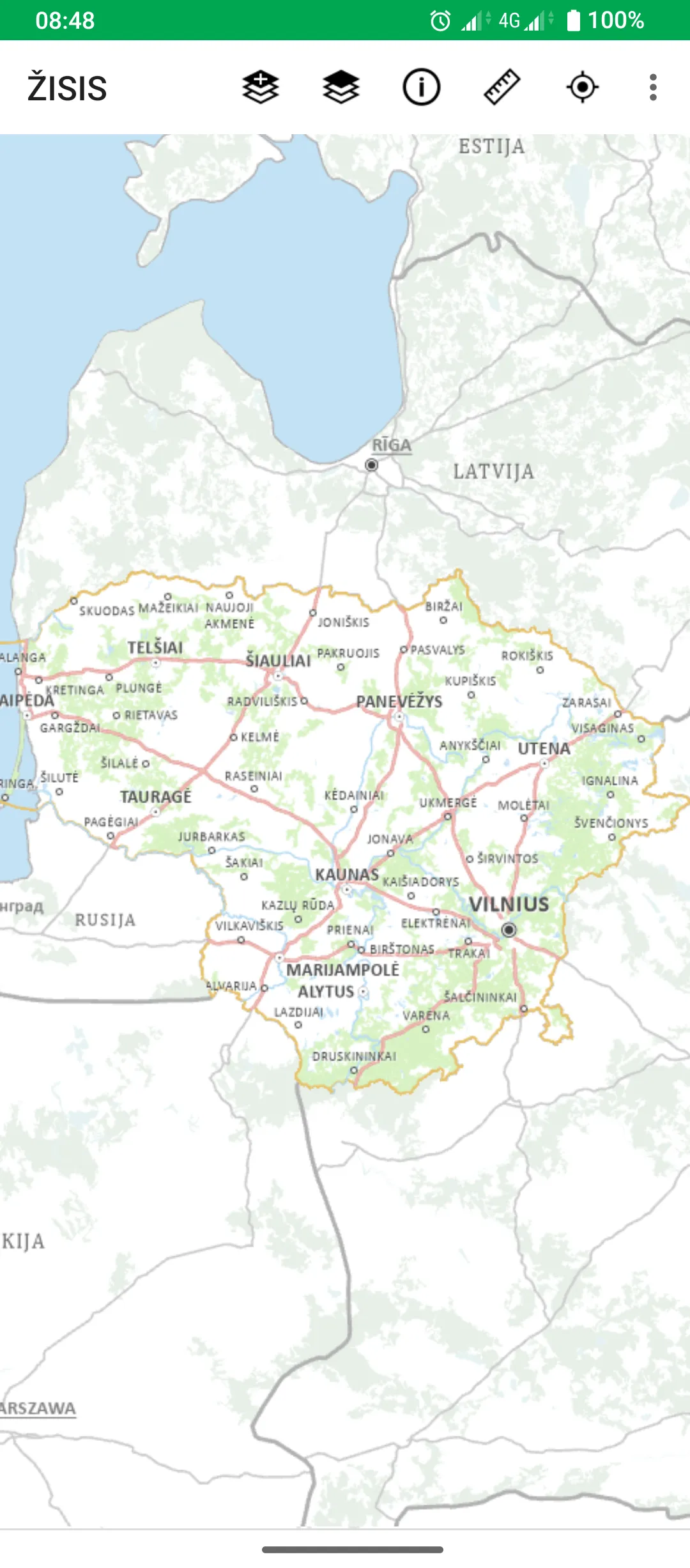
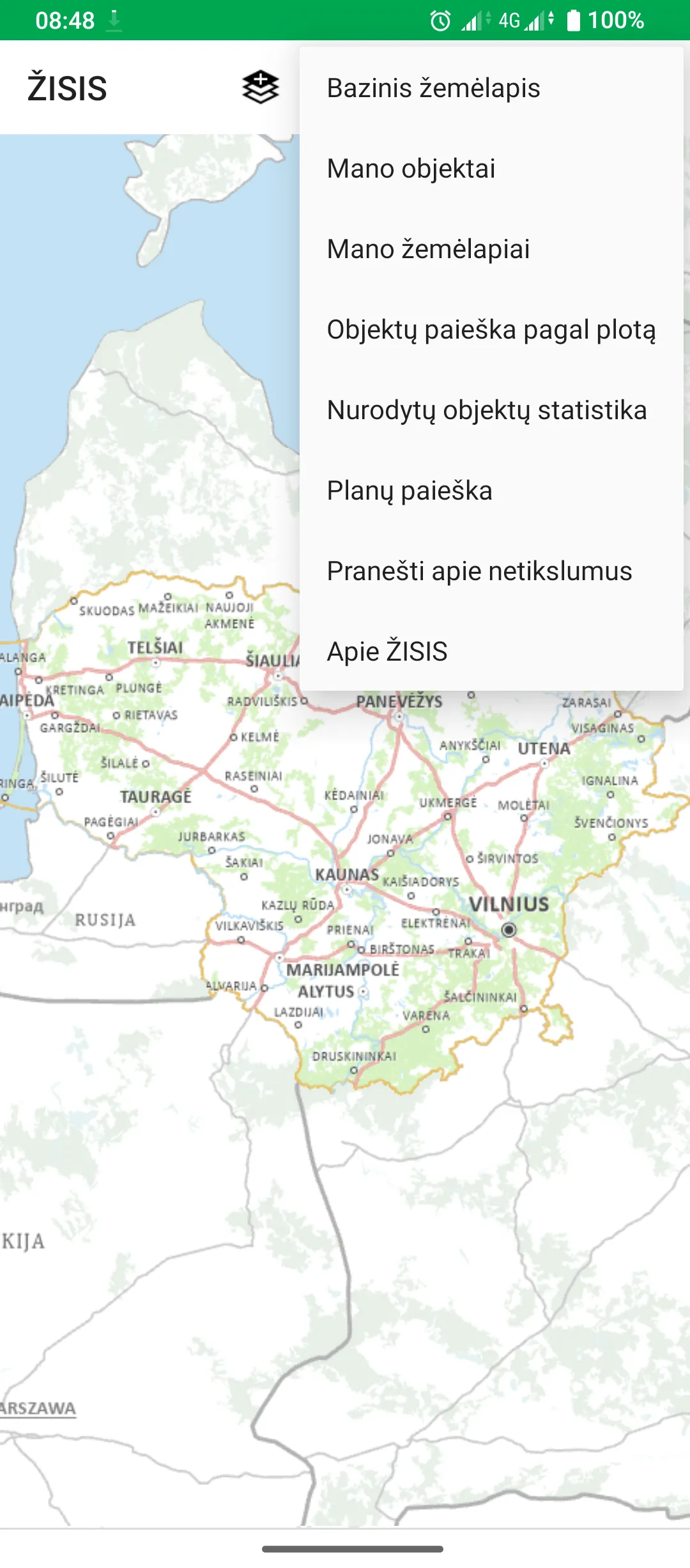
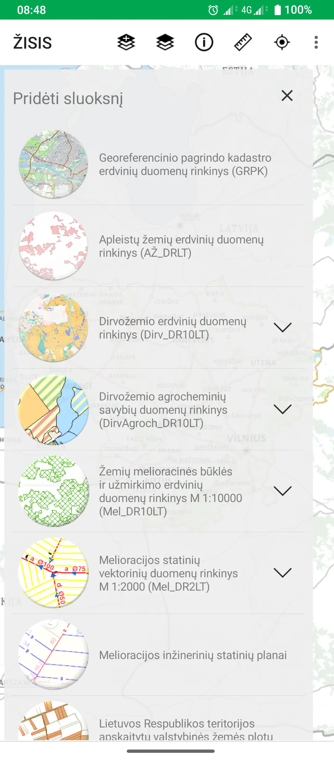
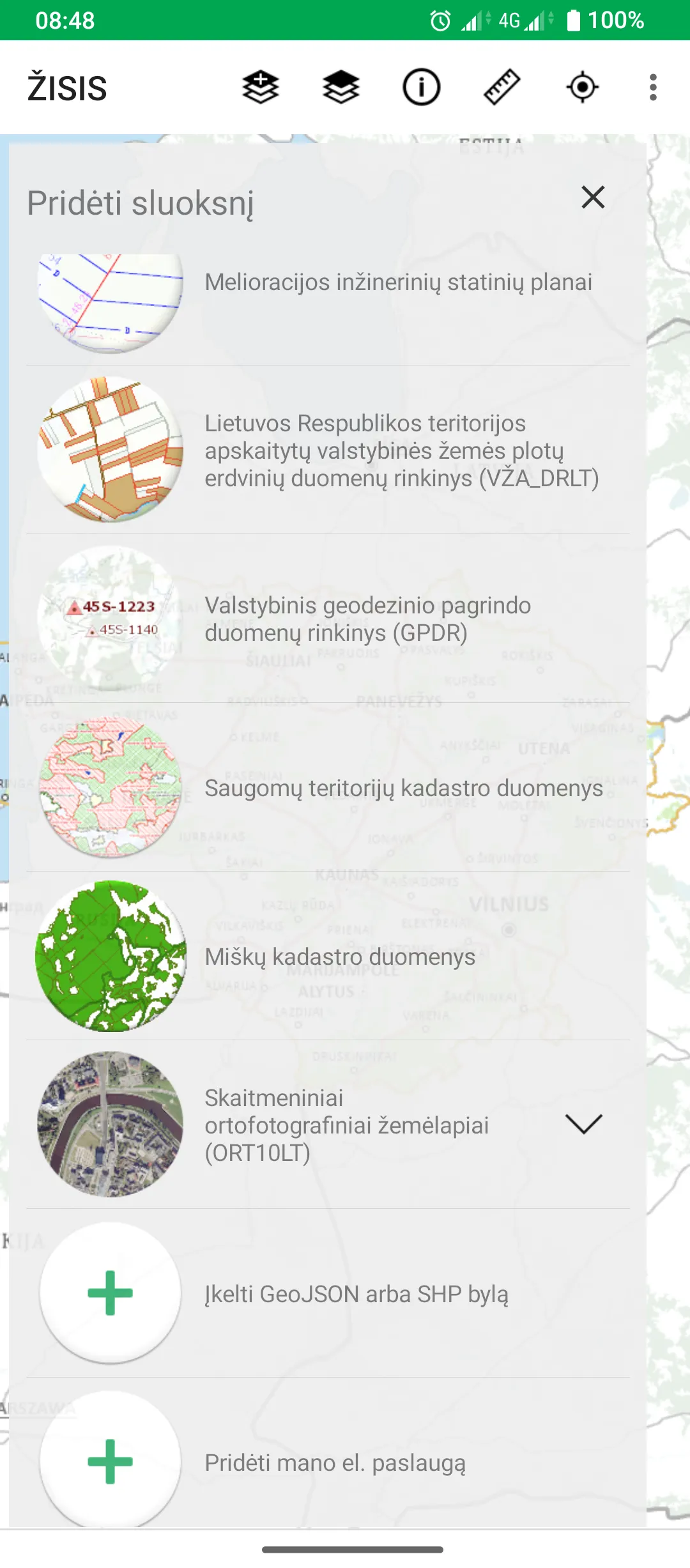
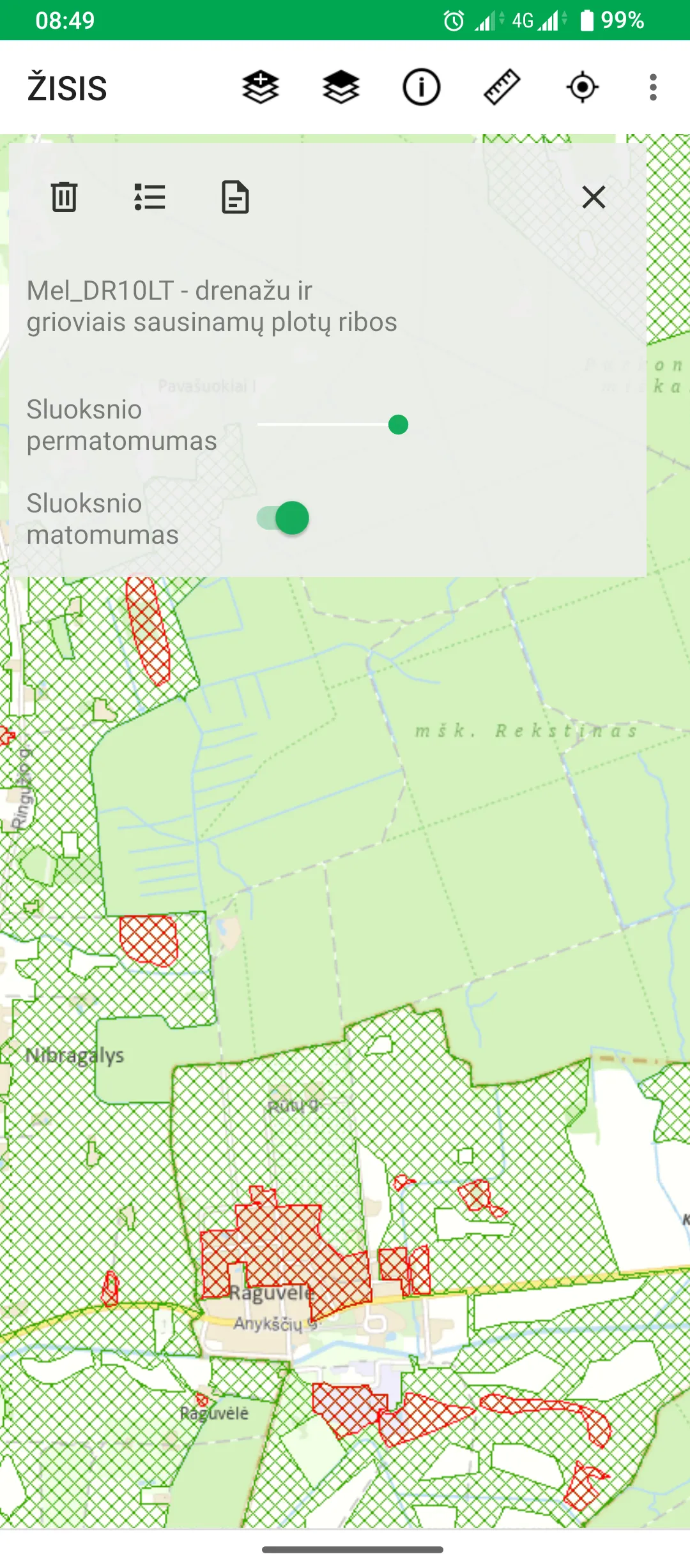
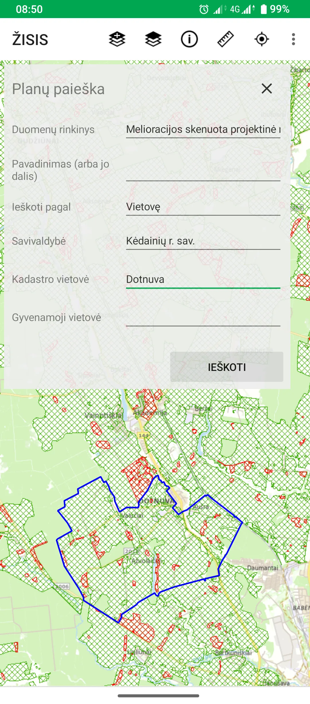
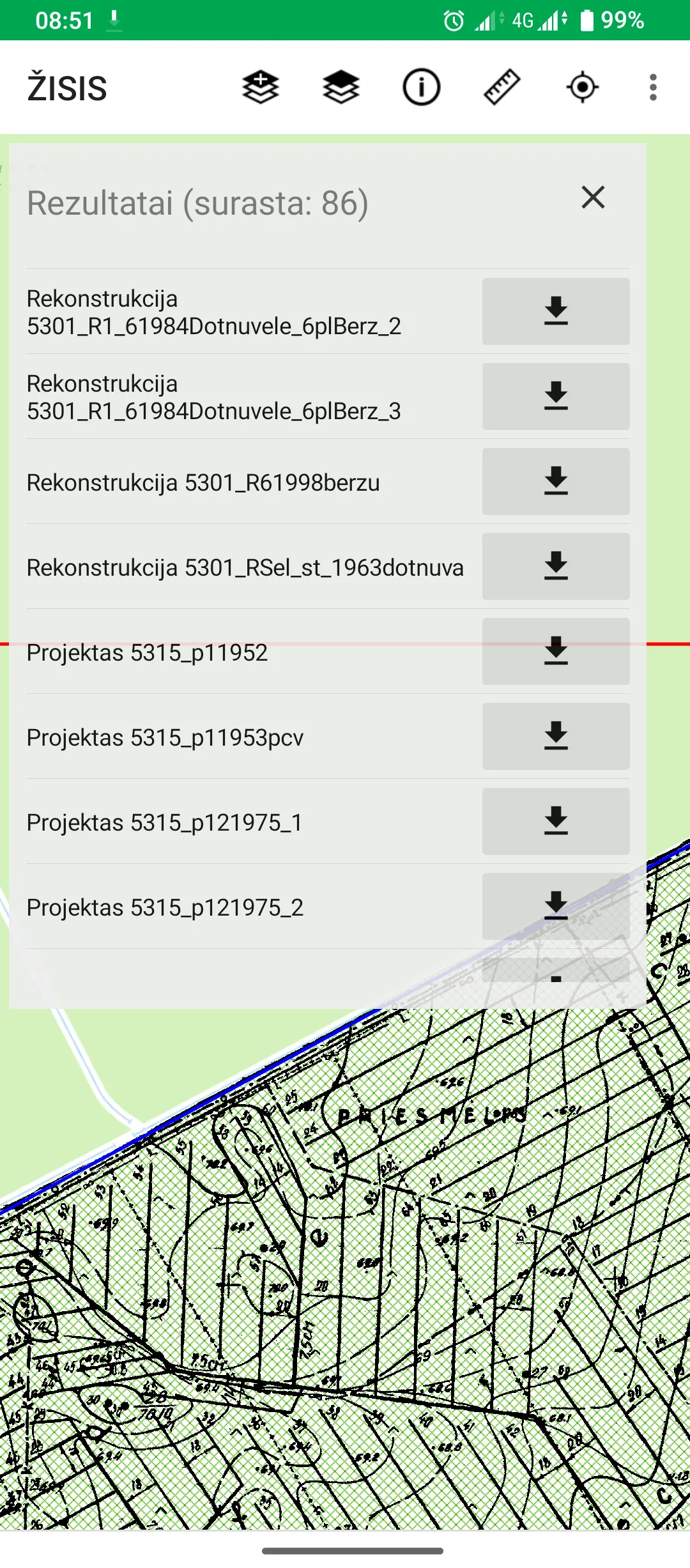
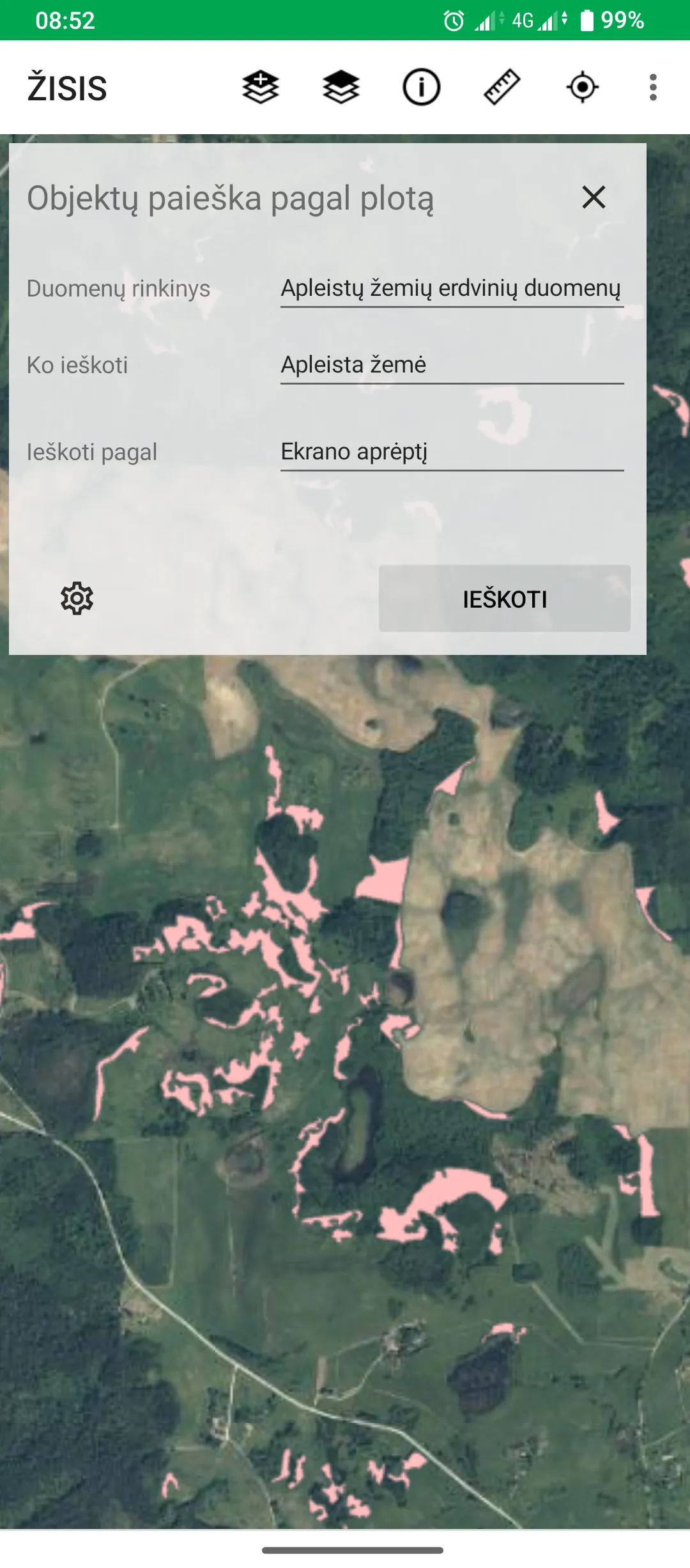
From 01.01.2024, the new name of the Earth Information System (ŽIS) is the Earth Resources Monitoring Information System (ŽISIS). The task of ŽISIS is to use information technologies to create spatial data sets (hereinafter - Spatial data sets about land) and maps, which would collect and display information about areas of abandoned land, areas of drained land, the condition of drained land areas, the layout of soils, their physical and agrochemical properties and other characteristics affectin
Developer info