FishTrack - Fishing Charts
fishtrack


About App
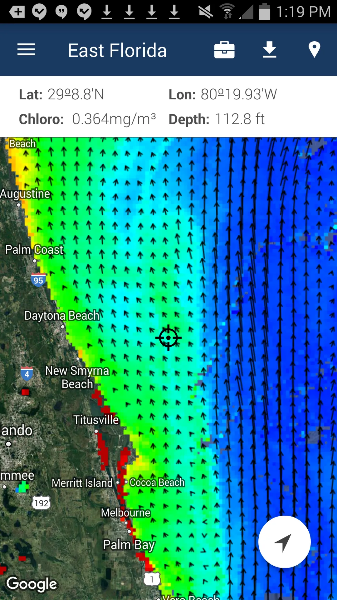
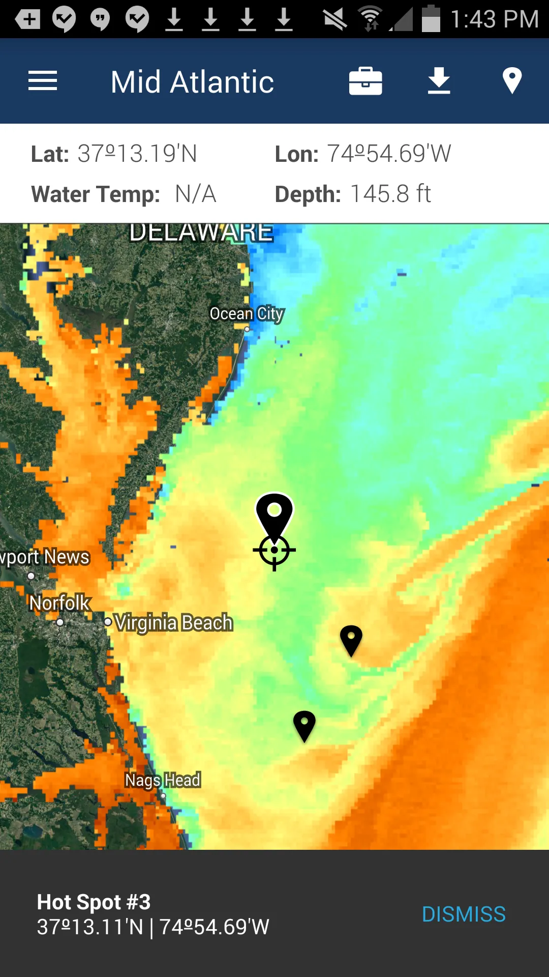
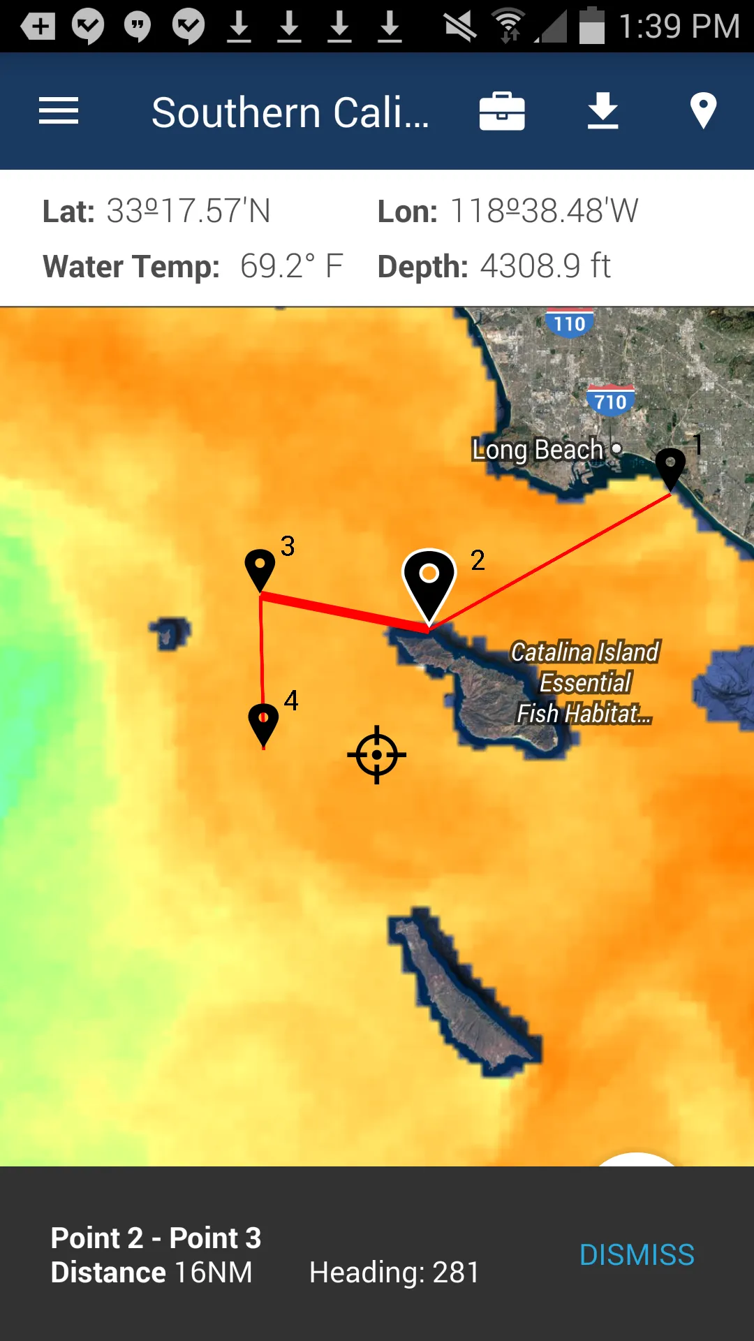
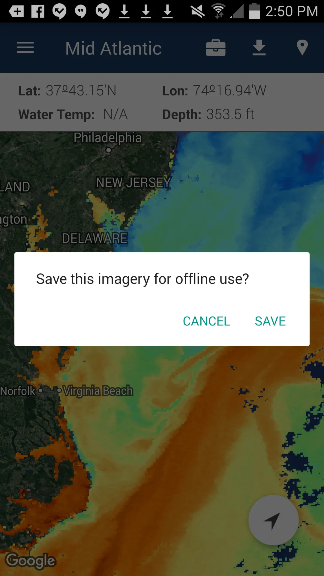
FishTrack provides saltwater anglers with everything they need to find fish. The FishTrack app offers free cloudfree sea surface temperature (SST) charts, global satellite imagery and marine weather forecasts – all in one layered tool. With FishTrack you can: - View the latest SST, chlorophyll and true color satellite imagery - Overlay bathymetry, ocean currents and sea surface height - Save waypoints to mark fishing spots and catches - Create routes to plan a trip and view distances and head
Developer info