Verified
4
Rating
10 MB
Download Size
About App
* Do you want to know when the next bus will arrive to your stop, or even get an automatic notification a few minutes before?
* Or which is the best combination of buses to get to any point in the city?
* Or how to swiftly move inside Palma combining buses and public bikes?
* Or how to make sure that your BiciPalma trip closed correctly when you leave your bike in its anchor point?
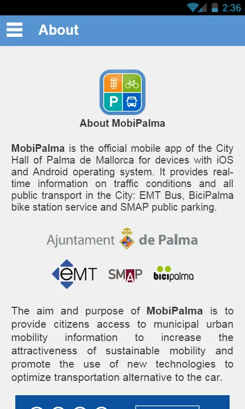
MobiPalma provides real-time, geolocated information on traffic conditions, the location and occupancy level of parking and public bicycle stations, in addition to all the information on the EMT Palma bus network. It's a free app ** and it's available in Catalán, Spanish, English and German.
MobiPalma is jointly promoted by the Department of Mobility of Palma de Mallorca City Hall, Emt Palma and SMAP (which manages public parkings and Bicipalma).
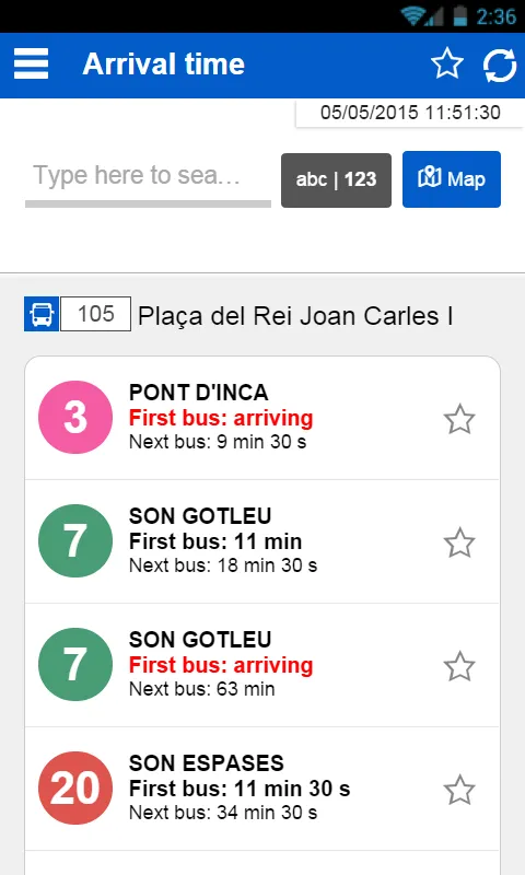
With the MobiPalma app installed on your mobile device you can get the arrival times for city buses in Palma exactly as in the EMT Palma app, plus:
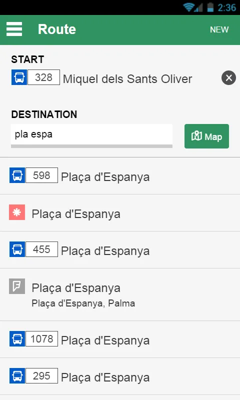
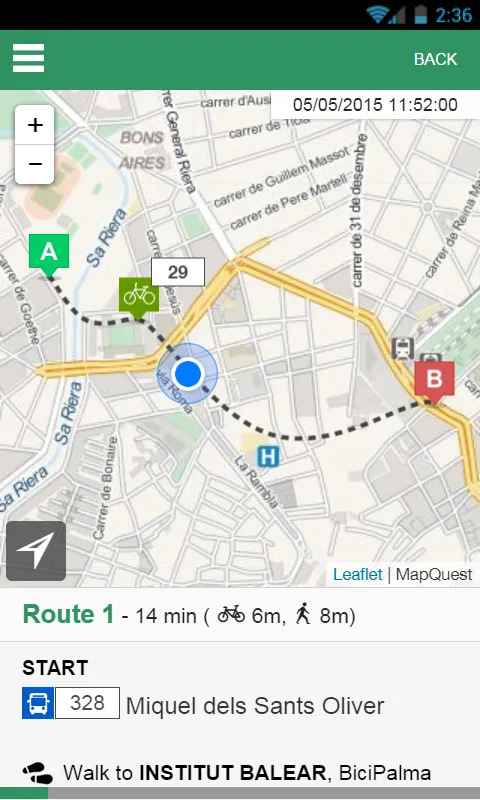
* [Routes] Calculate routes between a source and a destination using the bus network or using different combinations of bus, public bike and parkings. You can set the source and destination of the route by searching for street names or places: a hotel, a restaurant, a bar, a shop or a mall... And of course, you can select any point directly on a map of the city that shows your location.
* [EMT] Consult the information on all bus lines and all bus stops on the network.
* [EMT] View the closest stops to your location represented on the city map.
* [EMT] Get bus arrival times without knowing the bus stop number: choose your bus stop directly on the map; search directly by stop number, seeing the matches as you type; use the new text search engine for locating stops by street name. You can also get the bus arrival time from other screens of the app such as line information.
* [EMT] Schedule automatic reminders to be at the stop at the right time and don't miss the bus anymore.
* [EMT] Mark your usual bus stops as favorites and save them with a name for convenience.
* [General] Add to the favorites screen not only bus stops, but also: bus lines, the combination of line and bus stop, Bicipalma bike stations, public car parks, urban road sections with traffic congestion data and public traffic cameras.
* [General] Check at a glance the status of all your favorites by just opening the app (since "Your Favorites" is the initial screen), and even see the arrival time of your favorite stop-line combinations without touching the screen.
* [Traffic] View on a map the congestion status of the main roads of the city.
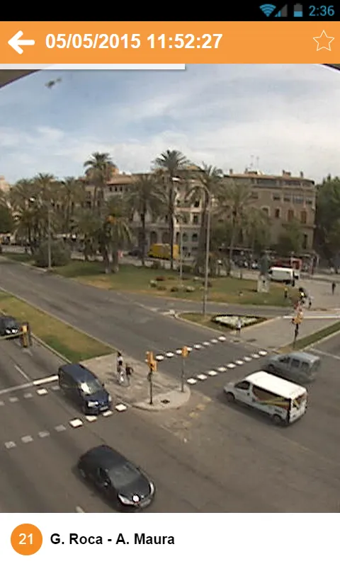
* [Traffic] Take a look at the live feed of various public traffic cameras.
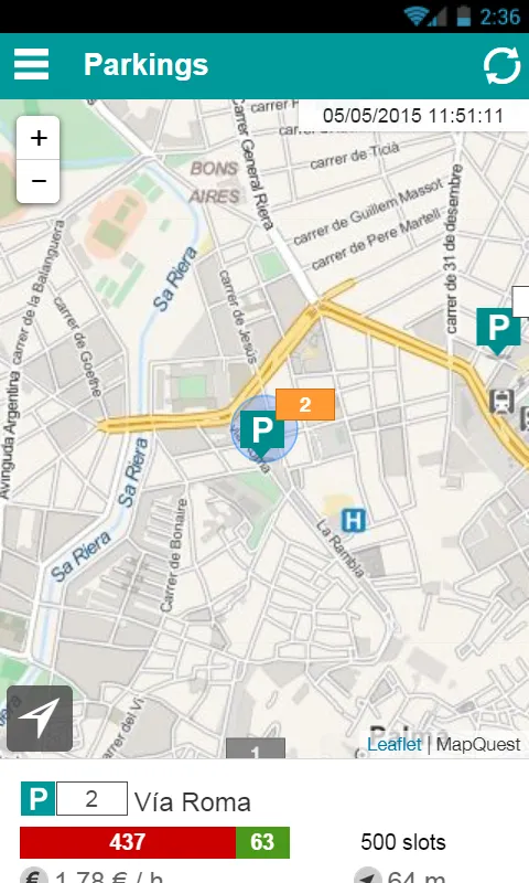
* [Parking] Go with your car to a car park knowing in advance the number of available slots and compare the price with other nearby parking options.
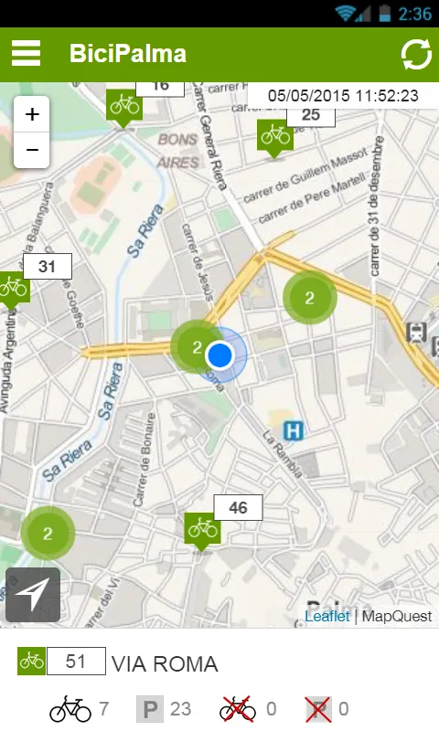
* [BiciPalma] Go to a BiciPalma bike station knowing in advance the number of available bikes and open anchor points, as well as any unusable ones.
* [BiciPalma] Check from within the app your Bicipalma usage history and, for example, make sure the trip closed correctly when you left the bike in its anchor point, or see any penalty for extra time.
* [General] Be informed of any incident in public roads and in the transport network, regardless of the sender: Town Hall, EMT Palma or SMAP. Notices on important incidents are sent as an automatic notification to your phone, and you can always disable it in the Settings screen.
Developer Infomation
Safety starts with understanding how developers collect and share your data. The developer provided this information and may update it over time.
Email :


